As we continue the 2024 hurricane season, Tropical Storm Tony is being closely observed for signs of development into Hurricane Tony.
This article provides an overview of the factors that could contribute to this storm’s formation, the intricacies of naming conventions, and essential preparation strategies for those who may be impacted.
The Potential Development of Tropical Storm Tony
Tropical storms usually form when warm ocean waters, moist air, and favorable atmospheric conditions converge. Meteorologists closely monitor these key factors during the early stages of storm development. For Tropical Storm Tony to form, certain conditions must be met.
First, meteorologists observe sea surface temperatures (SSTs), as waters warmer than 80°F (26.5°C) provide the heat needed to fuel storms. Additionally, the presence of a tropical wave or low-pressure system can act as a catalyst, creating a convergence of winds that promotes cloud formation.
Meteorologists also assess wind shear, which refers to the changes in wind speed and direction at different altitudes. Low wind shear allows storms to grow vertically and develop a well-defined structure, while high wind shear can disrupt this process.
Atmospheric humidity also plays a crucial role. Sufficient moisture in the upper levels of the atmosphere supports thunderstorm development. By tracking these elements, meteorologists can predict the likelihood of a tropical storm intensifying and possibly evolving into a hurricane.
Where Does Tony Get Its Name?
Tony is used in the Atlantic basin’s list of tropical cyclone names. However, there has only been one case of a tropical storm or hurricane named Tony in the Atlantic, which occurred in 2012.
Tropical Storm Tony in 2012
Tropical Storm Tony originated from a tropical wave that departed the west coast of Africa on October 11, 2012. This wave moved westward and contributed to the formation of Hurricane Sandy on October 22.
The initial storm system, which would later become Tropical Storm Tony, developed enough organization to be classified as a tropical depression and eventually strengthened into Tropical Storm Tony, peaking at 52 mph (45 knots) on October 24. Although it held this strength for about 24 hours, increasing wind shear and cooler waters caused it to weaken gradually.
By October 25, Tony had become an extratropical cyclone and dissipated south of the Azores by October 26. Forecasts for Tony’s path and strength were fairly accurate, with fewer errors than in previous years, despite its short lifespan and minimal intensification.
By analyzing these factors, we gain a clearer picture of how similar storms might form and behave, enabling better forecasting and risk mitigation strategies.
Understanding the Naming of Tropical Storms and Hurricanes
The World Meteorological Organization (WMO) manages the naming of tropical cyclones, using a rotating list every six years. Names are retired if they become associated with significant destruction or loss of life, promoting clarity in communication among meteorologists, the media, and the public.
The Importance of Naming
Names play a vital role in enhancing awareness and reducing confusion in storm reports and forecasts. By giving storms distinct names, it becomes easier to track their progress and communicate important safety information. Some benefits of naming storms are:
- Enhanced Communication: Naming storms simplifies communication about weather events, making it easier for the public to understand and respond to warnings.
- Increased Awareness: Names help to raise awareness and keep storms in the public consciousness, encouraging people to pay attention to weather updates.
- Public Safety: Named storms allow for quicker identification, which can lead to faster action and improved safety measures among communities at risk.
- Historical Tracking: Naming storms aids in tracking and studying historical weather patterns, providing valuable data for meteorologists and researchers.
- Cultural Significance: Storm names can resonate culturally, helping to foster a sense of community and shared experience during severe weather events.
The Potential Impact of Hurricane Tony
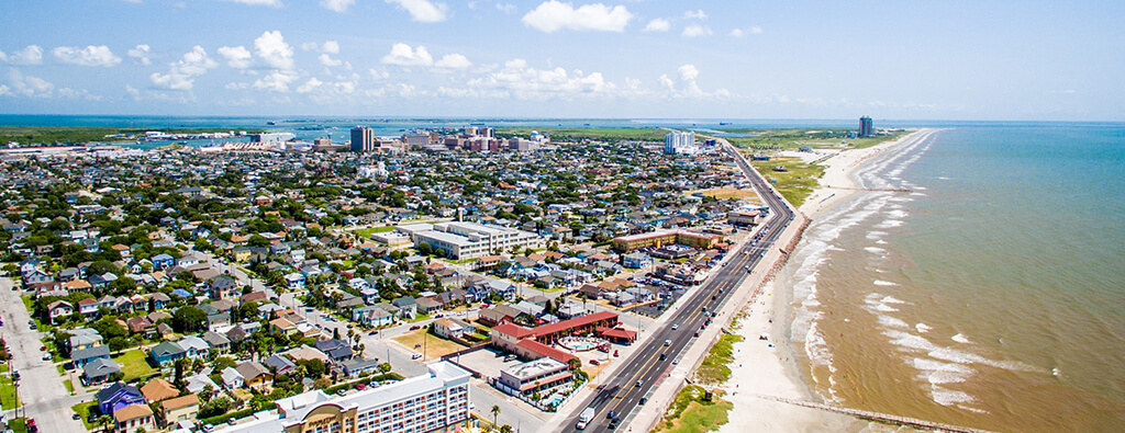
Should Hurricane Tony form from Tropical Storm Tony, it could bring significant changes to the region. Meteorologists are always monitoring weather developments, as increased wind speeds and storm surge could pose serious threats to coastal areas.
Residents in vulnerable zones should stay informed about evacuation routes and emergency procedures if Tropical Storm Tony forms and intensifies into Hurricane Tony.
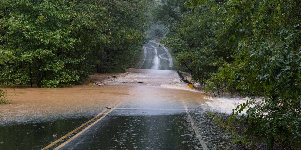
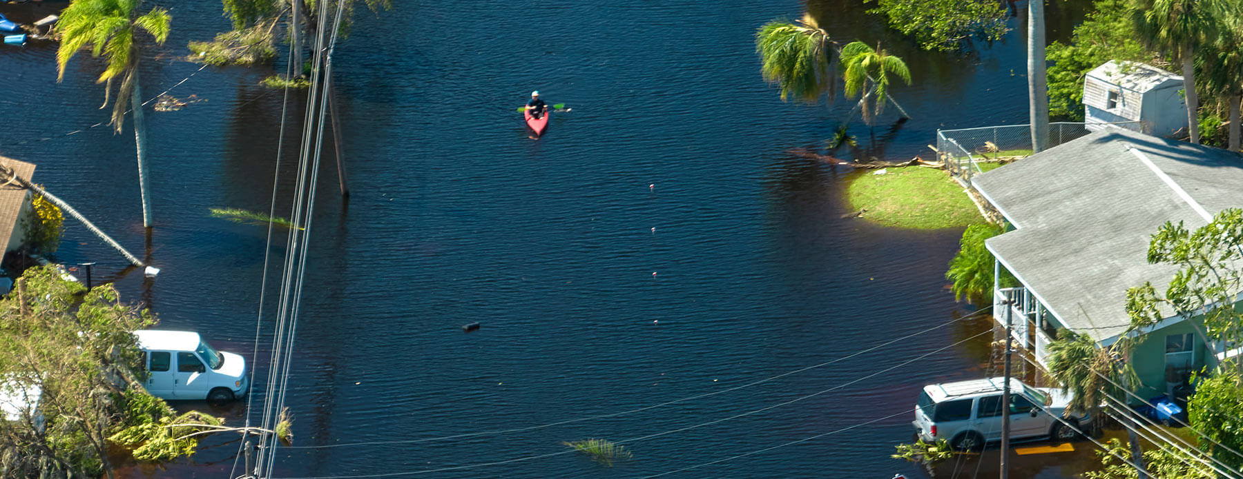
As with any storm, be sure to understand the potential impacts, including heavy rainfall, flooding, and power outages. Emergency management agencies actively prepare for possible landfall scenarios but communities and individuals should stock up on essential supplies pre-disaster in any case.
Safety Tips for Local Governments
To enhance community resilience and preparedness, local governments should implement these proactive safety strategies:
- Develop Comprehensive Emergency Plans: Collaborate with community stakeholders to create and regularly update emergency response plans that address potential local hazards.
- Conduct Public Awareness Campaigns: Educate residents about disaster preparedness through workshops, social media, and informational materials to prepare them on how to respond in emergencies.
- Strengthen Infrastructure: Invest in infrastructure improvements to withstand natural disasters, including flood defenses and resilient roadways.
- Coordinate with Federal Resources: Utilize resources from the Federal Emergency Management Agency (FEMA) for disaster recovery grants and technical assistance. Explore programs like the Public Assistance Grant Program for funding infrastructure repair.
- Establish Local Support Networks: Create partnerships with local organizations, non-profits, and volunteers to provide immediate support and resources during and after a disaster.
- Utilize Emergency Management Tools: Access FEMA’s online tools and resources, like the National Incident Management System (NIMS) and the Integrated Public Alert and Warning System (IPAWS), to improve emergency response capabilities.
Frequently Asked Questions About Tony
What distinguishes a tropical storm from a hurricane?
A tropical storm is characterized by winds ranging from 39 to 73 mph, while a hurricane has sustained winds exceeding 74 mph.
How do meteorologists forecast the path of storms like Tony?
Meteorologists use advanced computer models, satellite imagery, and historical weather data to predict the movement and intensity of storms.
How would Tropical Storm Tony become Hurricane Tony?
Tropical Storm Tony would be classified as a hurricane when its sustained winds reach 74 mph. Meteorologists would monitor the storm closely to determine when it achieves this threshold.
How should residents prepare for the potential impact of Hurricane Tony?
Residents should establish communication plans, secure loose outdoor objects, update emergency kits, back up important data, and familiarize themselves with evacuation routes.
Are hurricane names recycled?
Yes, hurricane names are reused every six years unless a storm is particularly deadly or costly, in which case the name is retired.
Can hurricanes form outside the typical season?
While most hurricanes occur between June 1 and November 30, conditions can occasionally lead to storm formation outside this period.
Tracking Tony’s Formation in 2024
Monitoring the potential transition of Tropical Storm Tony into Hurricane Tony underscores the importance of scientific vigilance and community preparedness.
By understanding the factors behind storm development and following recommended safety guidelines, such as those in our Hurricane Resource Center, individuals and communities can mitigate risks and enhance their resilience in the face of nature’s forces.


