The 2024 Atlantic Hurricane Season has started. El Niño has recently come to an end, marking a significant shift in global climate patterns with the anticipated emergence of La Niña. This transition is not merely a point of meteorological interest; it is a pivotal factor influencing global weather phenomena with extensive implications for disaster preparedness and response. As emergency managers, policymakers, and the public navigate this change, understanding the nuances of these climate patterns becomes essential. The onset of La Niña typically heralds increased hurricane activity in the Atlantic, underscoring the need for enhanced vigilance and proactive measures to mitigate and respond to the associated risks effectively.
El Niño and La Niña Explained


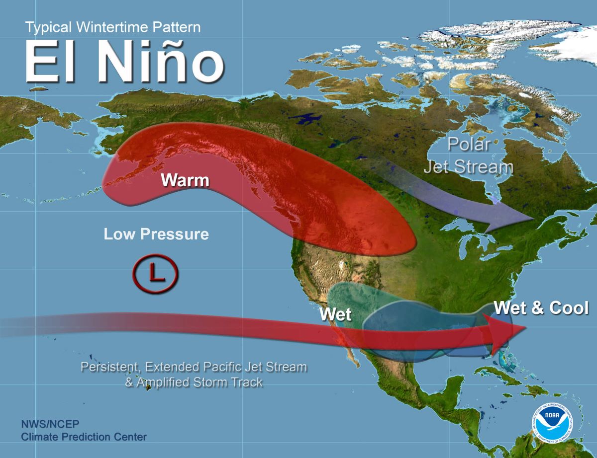
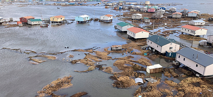
El Niño and La Niña are the warm and cool phases of the El Niño-Southern Oscillation (ENSO), a climatic pattern characterized by significant variations in the tropical eastern Pacific Ocean’s sea surface temperatures (SSTs). El Niño events are marked by warmer-than-average SSTs and higher surface air pressure in the western Pacific and cooler-than-average SSTs and lower surface air pressure in the Atlantic. El Niño can also lead to increased rainfall across the southern tier of the US and in Peru, which often leads to flooding, while droughts may occur in the western Pacific and Brazil.
Conversely, La Niña events are characterized by cooler-than-average SSTs and lower air pressure in the eastern Pacific and warmer-than-average SSTs and higher surface air pressure in the Atlantic. La Niña typically promotes stronger hurricane activity in the Atlantic due to decreased wind shear over the Caribbean Sea and tropical Atlantic, which fosters more and stronger hurricanes. Learn more about the differences between El Niño and La Niña.
Transition Dynamics

With the official end of El Niño that occurred in early June, and the transition to La Niña being around the corner in late summer, according to experts at the National Oceanic and Atmospheric Administration (NOAA), we are likely to see a particularly turbulent storm season as global weather patterns adjust. This transition period often leads to what scientists call a ‘neutral’ phase, where conditions may swing between warmer and cooler than average before settling into a full La Niña state.
“Understanding the ENSO cycle’s phase transitions is vital for predicting severe weather conditions,” stated NOAA’s website. “The upcoming transition to La Niña could significantly influence weather patterns worldwide, particularly affecting the hurricane season in the Atlantic.”
La Niña Years
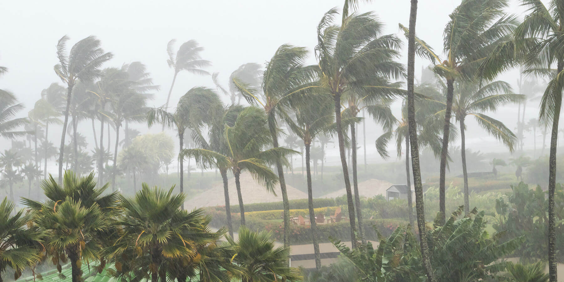
Historical data indicates that Atlantic hurricane seasons during La Niña conditions typically produce more named storms compared to seasons during El Niño conditions. This increased activity is largely attributed to reduced wind shear over the tropical Atlantic, creating more favorable conditions for storm development.
This is because during La Niña years, hurricane development frequently shifts to the Caribbean Sea and Gulf Coast, increasing landfall risks. The 2020 hurricane season caused significant damage across multiple regions, demonstrating the importance of enhanced preparedness measures during La Niña periods.
Analysis of past La Niña years reveals consistent patterns of increased Atlantic hurricane activity that can inform current preparedness efforts.
Notable La Niña Hurricane Seasons
- 2010: 19 named storms, 12 hurricanes, 5 major hurricanes
- 2017: 17 named storms, 10 hurricanes, 6 major hurricanes
- 2020: Record-breaking 30 named storms, 14 hurricanes, 7 major hurricanes
Communities with comprehensive disaster planning, updated infrastructure, and effective communication systems have historically fared better during active hurricane seasons. These lessons from previous La Niña years provide valuable context for preparing for the potential challenges of the 2024 hurricane season.
Implications for the 2024 Atlantic Hurricane Season
As we approach the transition to La Niña, the predictions from NOAA’s National Hurricane Center highlight an anticipated surge in hurricane activity. “La Niña conditions typically result in reduced wind shear across the tropical Atlantic, facilitating both the formation and intensification of hurricanes,” explains Michael Brennan, a meteorologist at the National Hurricane Center.
Further emphasizing the urgency, the 2024 Atlantic hurricane season forecast by the Climate Adaptation Center points to a particularly robust year with an expected 24 named storms, 12 hurricanes, and six major hurricanes. These major hurricanes, defined as Category 3 or higher on the Saffir-Simpson Hurricane Wind Scale, feature sustained winds of 111 miles per hour or more, presenting significant risks. This forecast marks a notable increase from previous years and underscores the critical need for enhanced vigilance and comprehensive preparedness strategies. The elevated forecast serves as both a warning and a directive for communities and emergency management professionals to bolster their readiness in the face of these evolving climatic challenges and potential devastations.
El Niño serves as La Niña’s counterbalance, significantly warming the ocean surface temperatures in the central and eastern Pacific Ocean. This warming disrupts the usual east-west rise of sea surface temperatures, weakening the trade winds and altering global atmospheric circulation patterns.
El Niño events occur at intervals of two to seven years and can last anywhere from nine months to two years.
The Role of Federal and State Agencies
The interplay between La Niña’s climatic influence and heightened hurricane activity is pivotal to national disaster preparedness and response strategies. Federal and state agencies, such as the Federal Emergency Management Agency (FEMA), rigorously enhance their readiness protocols in anticipation of increased hurricane activity associated with La Niña years. This preparation involves comprehensive coordination with the NOAA to sharpen predictive models and refine risk assessments.
State agencies are instrumental in translating overarching federal guidelines into localized action plans that meet specific community needs. This process often requires close cooperation with local government bodies, community leaders, and the private sector to ensure a cohesive response. For example, local emergency management departments may focus on refining evacuation routes, conduct comprehensive emergency response drills, and strategically position disaster relief resources to address potential emergencies effectively.
They also typically host community workshops and training sessions to inform the public about emergency procedures tailored to the unique challenges of hurricane-related events. This localized approach ensures that communities are prepared and resilient in the face of increased hurricane threats during La Niña conditions.
Community and Infrastructure Impact
Transitioning to La Niña conditions requires communities, particularly those in hurricane and flood-prone areas, to bolster their infrastructure resilience. This involves a multifaceted approach focusing on strengthening critical infrastructure such as power grids, water supplies, levees, dams, and communication networks. Ensuring these systems can withstand the added stress of increased storm frequency and intensity is paramount.
“Building resilient communities goes beyond merely upgrading physical infrastructure; it also involves comprehensive community engagement and education,” said Michelle Burnett, Assistant Vice President of Tidal Basin’s Resilience, Mitigation and Policy Practice. Communities are encouraged to engage in planning processes, participate in simulation drills, and contribute to local decision-making efforts to enhance preparedness.
Local governments are advised to re-evaluate and possibly revise urban planning and building codes to address the increased risks of La Niña conditions. This might include implementing stricter building standards for flood-prone areas, retrofitting older structures to withstand higher wind speeds, and enhancing drainage systems to manage increased rainfall effectively.
Additionally, emergency preparedness measures must be inclusive, considering the needs of vulnerable populations, including older adults, those with disabilities, and economically disadvantaged groups. Ensuring these groups have access to resources and information before, during, and after a disaster is crucial for minimizing the human impact of these events.
The collaboration between federal, state, and local governments, active community involvement, and robust infrastructure resilience form the cornerstone of effectively mitigating the impacts associated with increased hurricane activity during La Niña years. This includes implementing mitigation measures post-disaster as well. By cultivating a culture of preparedness and implementing proactive measures, communities are better equipped to withstand and overcome the challenges posed by these climatic fluctuations.
We encourage you to visit the Tidal Basin Hurricane Resource Center to enhance your readiness and ensure you are well-prepared for the hurricane season. Our website also offers a wealth of information and expert guidance to help your community survive and thrive in these dynamic weather patterns.


