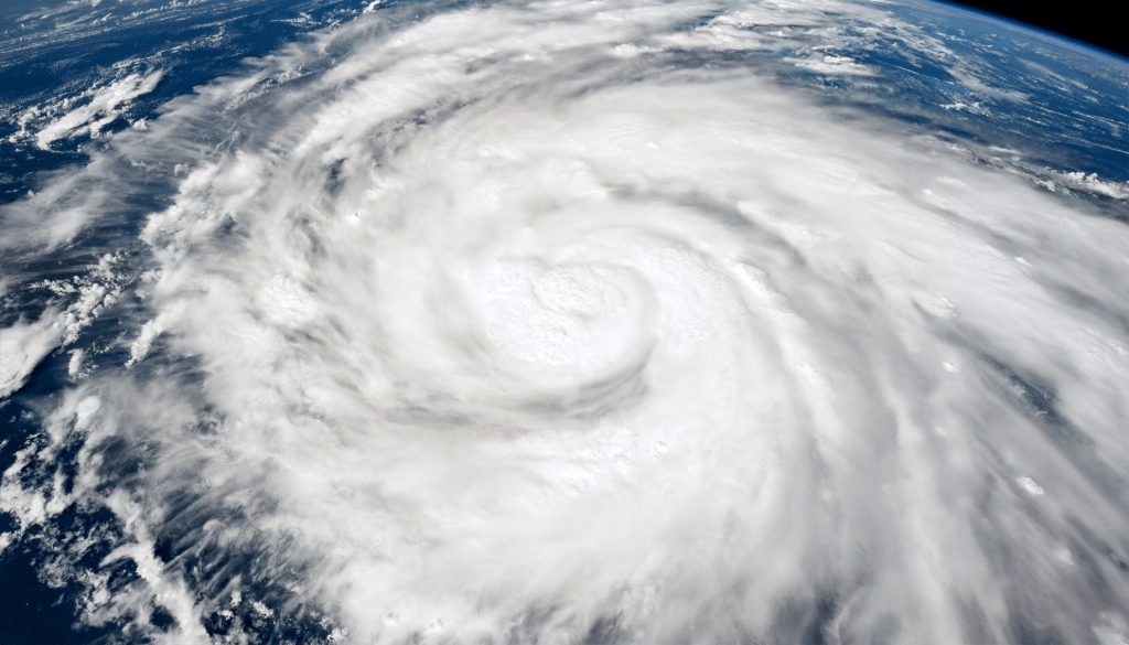
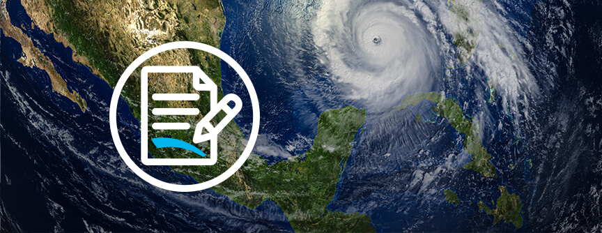
Shortly after 3 p.m. on Wednesday, September 28th, Hurricane Ian, a strong Category 4 storm (only a few mph away from being a Category 5 storm), made landfall near Cayo Costa, an island off the coast of Ft. Myers, Florida. Collapsed buildings, flooding, downed power lines, and impassable roads were reported by survey crews across southwest Florida. According toPowerOutage.us, more than 1.8 million homes and businesses across Florida are still without as of Friday, September 30th, and some drinking water systems have broken down completely or have boil notices in effect.
“We have been personally reaching out to our staff in Florida to ensure they and their families are safe,” Carlos J. Castillo, Senior Vice President, and Chief Development Officer at Tidal Basin. “The safety the of Tidal Basin team is our number one priority.”
As Ian makes its way through Georgia and the Carolinas on Friday, people in the impacted areas may be tempted to go outside. “Due to the massive flooding caused by the heavy rainfall and storm surge, it is best to stay inside where you are protected from the water,” explained Castillo. “Stay off the roads and listen carefully to the guidance and warnings from your local officials.”
Numerous studies have shown that most disaster-related injuries happen when people venture out of their homes or shelters to assess the damage. Below are several post-hurricane safety tips from the CDC and Ready.gov:
- Pay attention to the guidance of local officials
- Stay out of floodwater. The water can contain dangerous pathogens, debris, chemicals, waste, and wildlife. Underground or downed power lines also can electrically charge the water.
- Never use a wet electrical device
- When the power is out, use flashlights, not candles
- Prevent carbon monoxide poisoning
- Be careful near damaged buildings
- Stay away from power lines and treat them as if they are “live”
- Protect yourself from animals and pests
- Be careful during clean-up. Wear protective clothing, and use appropriate face coverings or masks if cleaningmold or other debris.
- Do not touch electrical equipment if it is wet or if you are standing in water. If it is safe to do so, turn off electricity at the main breaker or fuse box to prevent electric shock.
- Save phone calls for emergencies. Use text messages or social media to communicate with family and friends.
Ian weakened to a tropical storm early Thursday, September 29th with winds of 65 mph. Based on wind speed, Ian tied with 2004’s Hurricane Charley as the strongest storm to make landfall on the west coast of the Florida Peninsula, both with 150-mph winds at landfall.
Unfortunately, Ian isn’t done yet. The storm regained Category 1 hurricane intensity once it moved out over the Atlantic. A hurricane warning was issued for the entire coastline of South Carolina on Thursday, September 29th and the National Weather Service warned that Ian could produce life-threatening floods in Georgia and the Carolinas as it makes landfall again on Friday, September 30th.
Ian will continue making its way up the eastern seaboard with heavy rainfalls, leaving more flooding and destruction in its wake. An initial analysis from Fitch Ratings on Thursday, September 29th found that losses covered by insurance alone could range from $25-$40 billion for Florida. Loss of life hasn’t been fully identified yet, but initial estimates are already in the dozens. This storm will go down in history as being a massive storm, causing catastrophic damage and devastation across the eastern U.S. that will take years to recover from.
Tidal Basin is no stranger to disasters. We have helped communities nationwide with their response and recovery needs for decades. We support more than 150 state and local government clients and have managed more than $40 billion in federally funded programs. We stand ready to assist Florida, the Carolinas, and all affected communities with their recovery and building back stronger.
Additional Hurricane Resources:
- English – CDC and Ready.gov
- Español – Listo.gov y Cruz Roja Americana


