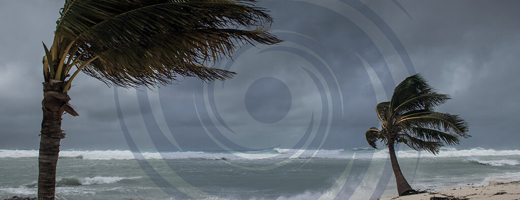
The 2025 hurricane season is approaching, and with it comes the potential for the first named storm, Tropical Storm Andrea.
While Andrea holds a unique place as the first name on the rotating list of hurricane names, it has rarely been used in past seasons.
Below we’ll explore the short list of prior storms named Andrea, their impacts, and the precautions necessary to mitigate damage and loss of life due to tropical storm activity.
The Legacy of Storms Named Andrea
Though Andrea has never been used to name a hurricane, it did appear as a subtropical or tropical storm in 2007, 2013 and 2019.
Those storms brought lessons still relevant today about the unpredictability of tropical storms and their far-reaching impacts.
Subtropical Storm Andrea (2007)
2007’s Subtropical Storm Andrea began developing in early May offshore the mid-Atlantic United States coast.
The storm had maximum sustained winds of about 63 mph (55 knots) but remained out in the Atlantic Ocean until it began to dissipate on May 11 about 95 miles east-southeast of Jacksonville, Florida.
Tropical Storm Andrea (2013)
The 2013 storm formed in early June in the Gulf and made landfall on Florida’s Big Bend coast. With maximum sustained winds between 60 to 65 mph (estimated about 55 knots), Andrea remained at tropical storm strength but caused significant rainfall, with totals reaching up to 15 inches in North Miami Beach.
It also spawned 11 tornadoes across Florida and one in North Carolina, leading to localized damage. Flooding, though not catastrophic, disrupted daily activities along its path.
Subtropical Storm Andrea (2019)
The 2019 iteration of Andrea formed in May, just prior to the official start of the hurricane season.
Classified as a subtropical storm, Andrea reached wind speeds of 40 mph (35 knots) before dissipating within 24 hours due to environmental conditions and wind shear.
Despite being so brief, this storm did showcase how tropical systems could develop outside traditional timelines.
Key Meteorological Details for Storms Named Andrea
Wind Speeds and Pressure
The storms named Andrea have maintained maximum wind speeds between 40 and 65 mph with minimum central pressures near 992 to 1,006 mb.
They serve as stark reminders that even tropical storms can produce hazardous conditions.
Storm Suge and Flooding
While storm surges associated with Andrea have been modest (typically 1 to 3 ft, peaking at 4.5 ft), the flooding impacts have been significant, particularly in 2013 in low-lying areas.
Rainfall Total
2013’s Andrea had notable heavy rainfall, with localized totals exceeding 15 inches. This kind of precipitation can overwhelm infrastructure and cause urban flooding, as witnessed in southeast Florida in 2013.
Tornado Activity
In 2013, Tropical Storm Andrea caused 11 confirmed tornadoes in the United States and several in Cuba. These tornadoes brought damage to homes, trees, and infrastructure, highlighting the multifaceted threats of these systems.
Factors that Contribute to Tropical Storm Formation
Tropical storms are among the most powerful and impactful weather events on Earth, capable of causing widespread damage and disruption.
To understand how they form, it’s important to break down the key weather conditions that contribute to their development, such as warm ocean waters, low wind shear, and high atmospheric moisture.
Warm Ocean Waters
The first key ingredient for tropical storm formation is warm ocean waters. Tropical storms typically form in the Atlantic Ocean, Caribbean Sea, or the Gulf, where sea surface temperatures are above 26.5°C (80°F).
At this temperature, the warm water provides energy to the storm system by evaporating and releasing heat into the atmosphere.
Low Wind Shear
Another important factor for tropical storm formation is low wind shear. Wind shear is the difference in wind speed and direction at different altitudes in the atmosphere.
For a tropical storm to develop and strengthen, there needs to be minimal wind shear so that the storm can maintain its organized system.
In areas with high wind shear, the storm’s circulation can be disrupted and prevent further development. This is why tropical storms often weaken or disintegrate when they encounter strong winds at higher altitudes.
High Atmospheric Moisture
The final key ingredient for tropical storm formation is high atmospheric moisture. Moisture in the atmosphere provides the fuel needed for the storm to grow and sustain itself.
When there is abundant moisture, it allows for the continuous formation of clouds and thunderstorms, which are vital to the development of a tropical storm.
High levels of atmospheric moisture enable the rising warm air in the storm system to condense, releasing latent heat. This process further fuels the storm, creating a positive feedback loop that intensifies its strength.
Without sufficient moisture, the storm’s development would stall, as dry air disrupts the formation of thunderstorms and weakens the storm’s structure.
The combination of warm ocean waters, low wind shear, and high atmospheric moisture creates the perfect conditions for a tropical disturbance to evolve into a powerful tropical storm, capable of impacting regions far and wide.
Andrea’s Formations
Andrea serves as a great example of how tropical storms can form in different ways.
Both the 2007 and 2013 storms named Andrea began as low-pressure systems, with the 2007 storm in the Atlantic and the 2013 storm in the Gulf.
In both cases, warm ocean waters and favorable atmospheric conditions helped fuel their development.
In contrast, Andrea’s formation in 2019 resulted from a more complex set of atmospheric patterns, including a trough (a dip in atmospheric pressure) and the lingering remnants of a weather front.
FAQs About Tropical Storm and Hurricane Andrea
Has Tropical Storm Andrea ever reached hurricane strength?
No. All storms named Andrea have remained below hurricane strength throughout their lifetimes, peaking as tropical or subtropical storms.
When did Andrea last form?
The last storm named Andrea formed in May 2019 as a subtropical storm. It developed early in the hurricane season but remained weak and short-lived, dissipating shortly after formation.
How much damage did Tropical Storm Andrea cause?
Though not as destructive as other named storms, Andrea’s impacts have included flooding, tornado activity, and localized damages in affected areas.
Can we expect more storms named Andrea?
The name Andrea will be used again for future tropical storms that form in the Atlantic. The list of names rotates every six years unless one is retired due to its severity and impact on communities. If Andrea forms, it would be the first named storm in 2025.
Safety Tips for Hurricane Season
Although Andrea’s historical impacts have been less severe than other named storms, the unpredictability of tropical systems means individuals and communities should remain vigilant.
Here are some key preparedness tips for tropical storms like Andrea:
- Monitor Weather Updates: Use apps and official updates from the National Hurricane Center to stay informed.
- Stock Emergency Supplies: Include enough water, non-perishable food, medications, and batteries for at least three days.
- Inspect Property: Clean the gutters, reinforce windows, and secure loose outdoor items to reduce potential damage.
- Always Prepare: Remember, even weak storms like 2019 Andrea can cause unpredictable weather.
Preparing for Tropical Storm Andrea
While storms may vary in intensity and path, preparedness remains the best defense.
Emergency management efforts and community readiness are key to minimizing the effects of these natural events. Start your disaster response plan today by speaking to one of our preparedness experts.
Together, we can enhance resilience and provide greater safety for you and your community.


